
Drone Awareness & Remote Sensing for Park Monitoring Training
Evaluate responsible uses of drone imagery and remote sensing for park monitoring, including limitations, wildlife impacts and data governance. This two-day training programme in Malaysia covers remote sensing applications, flight safety and site assessment, use-case planning and governance.
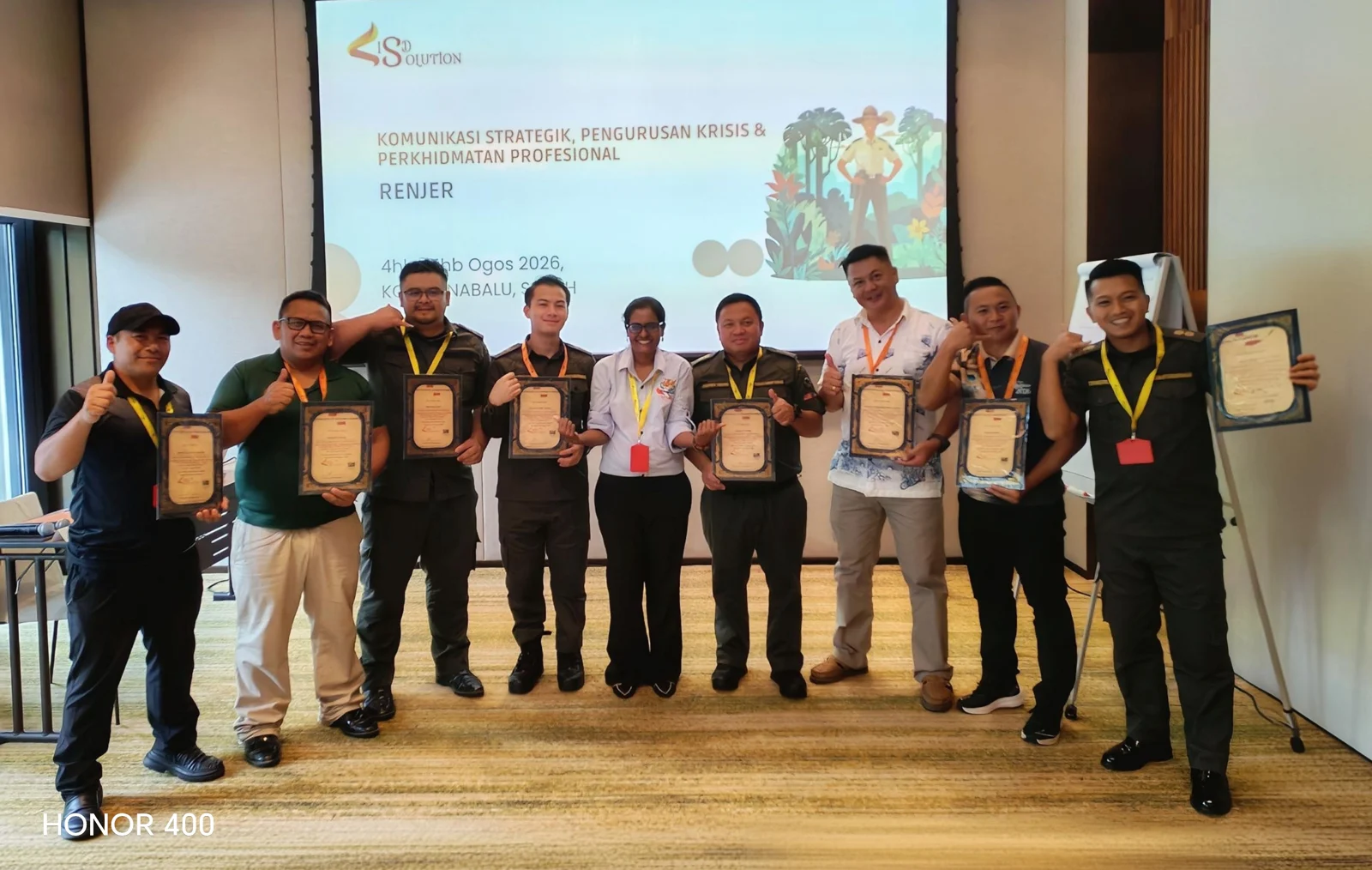
Course overview
Introduces responsible use of drone imagery and remote sensing for conservation monitoring.
Programme: Drone Awareness and Remote Sensing for Park Monitoring
What you will learn
- Expands monitoring options while supporting safe, lawful, and ethical operations.
Course outline
Explore the 8 modules covered in the programme. The sequence and emphasis can be tailored to participant needs.
Remote sensing applications
Drone capabilities and limitations
Airspace, permits, and policy awareness
Flight safety and site assessment
Wildlife disturbance considerations
Image capture and data management
Basic imagery interpretation
Use-case planning and governance
Use-case planning and governance
Trainer-led explanation and discussion connect the module topics to workplace application.
Who this course is for
Park monitoring teams, conservation planners, rangers and managers considering drone imagery or remote-sensing applications.
Before you join
Bring a learning objective and an anonymised workplace example relevant to drone awareness & remote sensing for park monitoring. Confirm any equipment, software, fieldwork arrangements or other prerequisites with ISDS before booking.
How to join this Drone Awareness & Remote Sensing for Park Monitoring course in Malaysia
Evaluate responsible uses of drone imagery and remote sensing for park monitoring, including limitations, wildlife impacts and data governance. Discuss your team's responsibilities, learning objectives and preferred dates with ISDS to arrange public or in-house training. We will confirm trainer availability, fees and delivery requirements.
Latihan Kesedaran Dron dan Penderiaan Jauh untuk Pemantauan Taman di Malaysia
Latihan dua hari meliputi kegunaan penderiaan jauh, batas dron, permit, keselamatan, gangguan hidupan liar, pengurusan imej dan tadbir urus. Kelas awam dan latihan dalaman boleh dibincangkan mengikut keperluan organisasi. Sila sahkan kelayakan HRD Corp (HRDF), pengaturan tuntutan, yuran dan tarikh dengan ISDS sebelum membuat tempahan.
Your trainer
Dr Jude Selvaraj Joseph
A master trainer and consultant with more than 25 years of corporate experience across education, hospitality, logistics and supply chain. His work connects leadership, people development and operational improvement.
Trainer availability is confirmed for each programme.
Get the full course brochure by email
Enter your contact details to receive the full course outline, learning outcomes and learning approach by email.
Questions about Drone Awareness & Remote Sensing for Park Monitoring
What does Drone Awareness & Remote Sensing for Park Monitoring training cover?
The eight-module outline covers Remote sensing applications; Drone capabilities and limitations; Airspace, permits, and policy awareness; Flight safety and site assessment; Wildlife disturbance considerations; Image capture and data management; Basic imagery interpretation; Use-case planning and governance.
Who is Drone Awareness & Remote Sensing for Park Monitoring training for?
Park monitoring teams, conservation planners, rangers and managers considering drone imagery or remote-sensing applications.
Who teaches this programme?
Dr Jude Selvaraj Joseph is the assigned trainer. Trainer availability is confirmed with your programme arrangements.
Is this the same as the existing GIS & Drone Mapping programme?
This course focuses on awareness and use-case planning: capabilities, limitations, permits, site safety, wildlife disturbance, imagery and governance. The separate GIS & Drone Mapping programme covers mapping workflows and more advanced monitoring technologies. Confirm any practical flight or qualification requirement before booking.
How long is the Drone Awareness & Remote Sensing for Park Monitoring course?
The course runs for 2 days. Ask ISDS about the next public session or an in-house schedule for your team.
Is the Drone Awareness & Remote Sensing for Park Monitoring course HRDF claimable?
Ask ISDS to confirm HRD Corp (formerly HRDF) eligibility and claim arrangements for this programme before booking. Where applicable, claims are arranged through our partner, Orange Revolution.
Will I receive a certificate for the Drone Awareness & Remote Sensing for Park Monitoring course?
Public-class participants receive a certificate of participation. Ask ISDS about certificate arrangements for in-house training.
How much does the Drone Awareness & Remote Sensing for Park Monitoring course cost?
Ask for a quotation or an in-house proposal. Share your course, team size and preferred dates, and we will confirm the format, fees, inclusions and any HRD Corp claim arrangements.